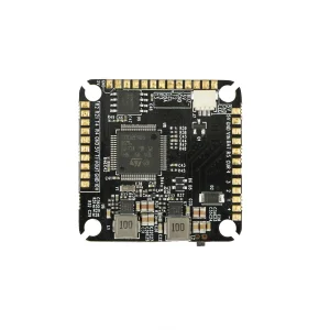
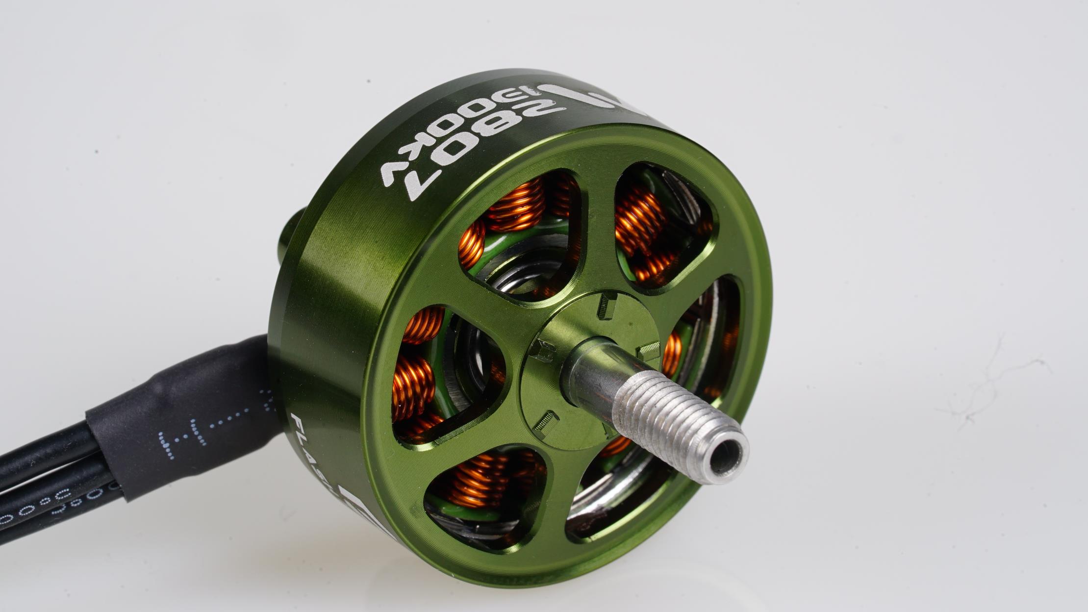
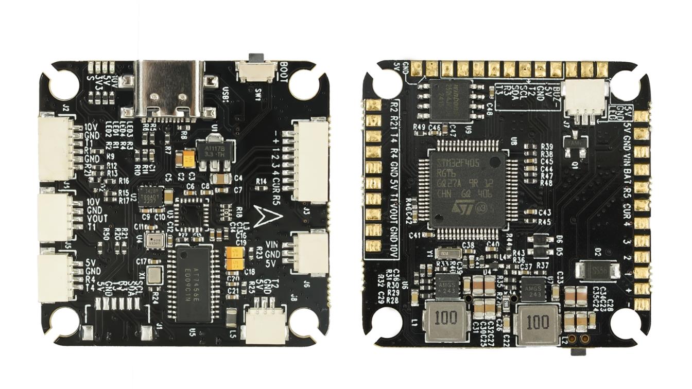
CE Certified Terrain Mapping Drones Factory & Exporters

Industry-Leading Geospatial Precision, Enterprise-Grade Reliability, and High-Performance Propulsion Systems for Global Surveying Operations.

Engineering Motion, Powering Growth

Inside Our China DC Motor & Drone Tech Facility

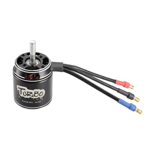
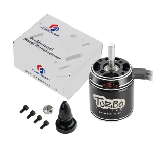
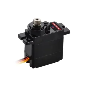
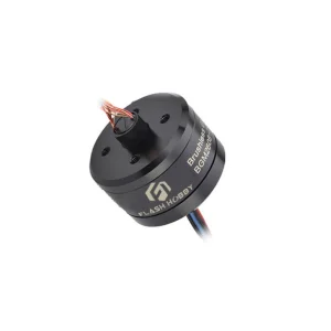
At Huizhou Yaftech Motor Co., Ltd., we believe that the heart of every great machine is a reliable motor. As a premier China DC motor manufacturer, we have spent over 10 years specializing in the design, customization, and mass production of high-performance DC and brushless motor solutions for global industries.

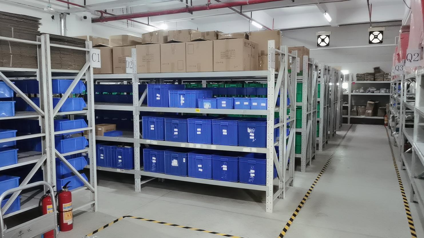
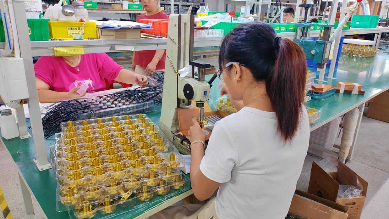
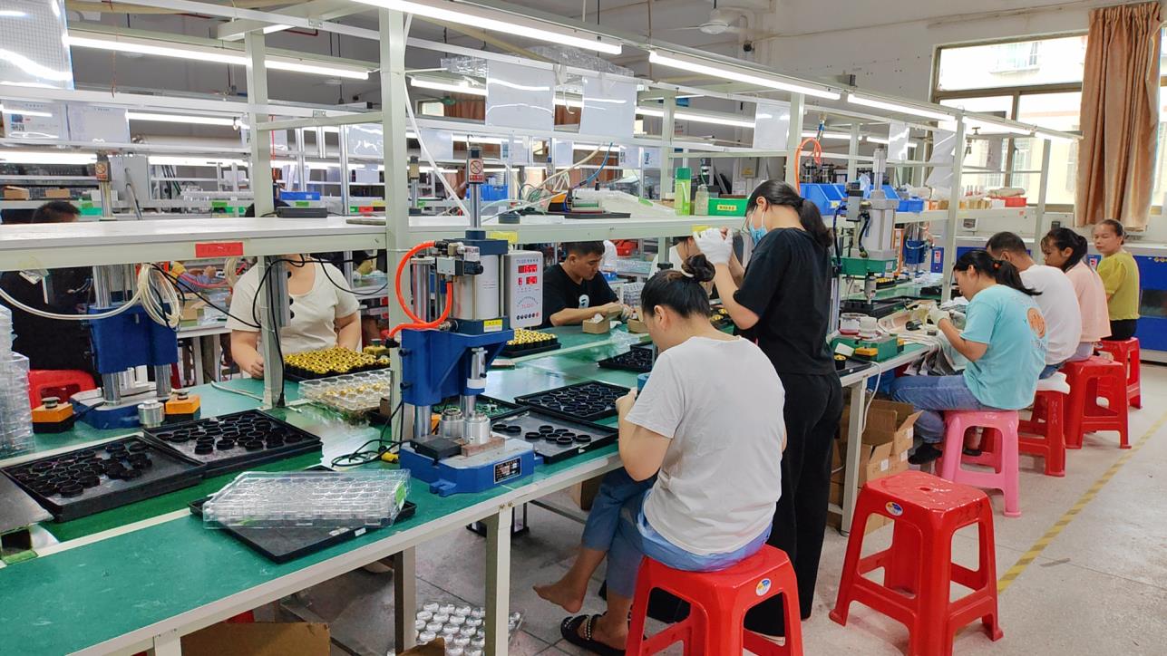
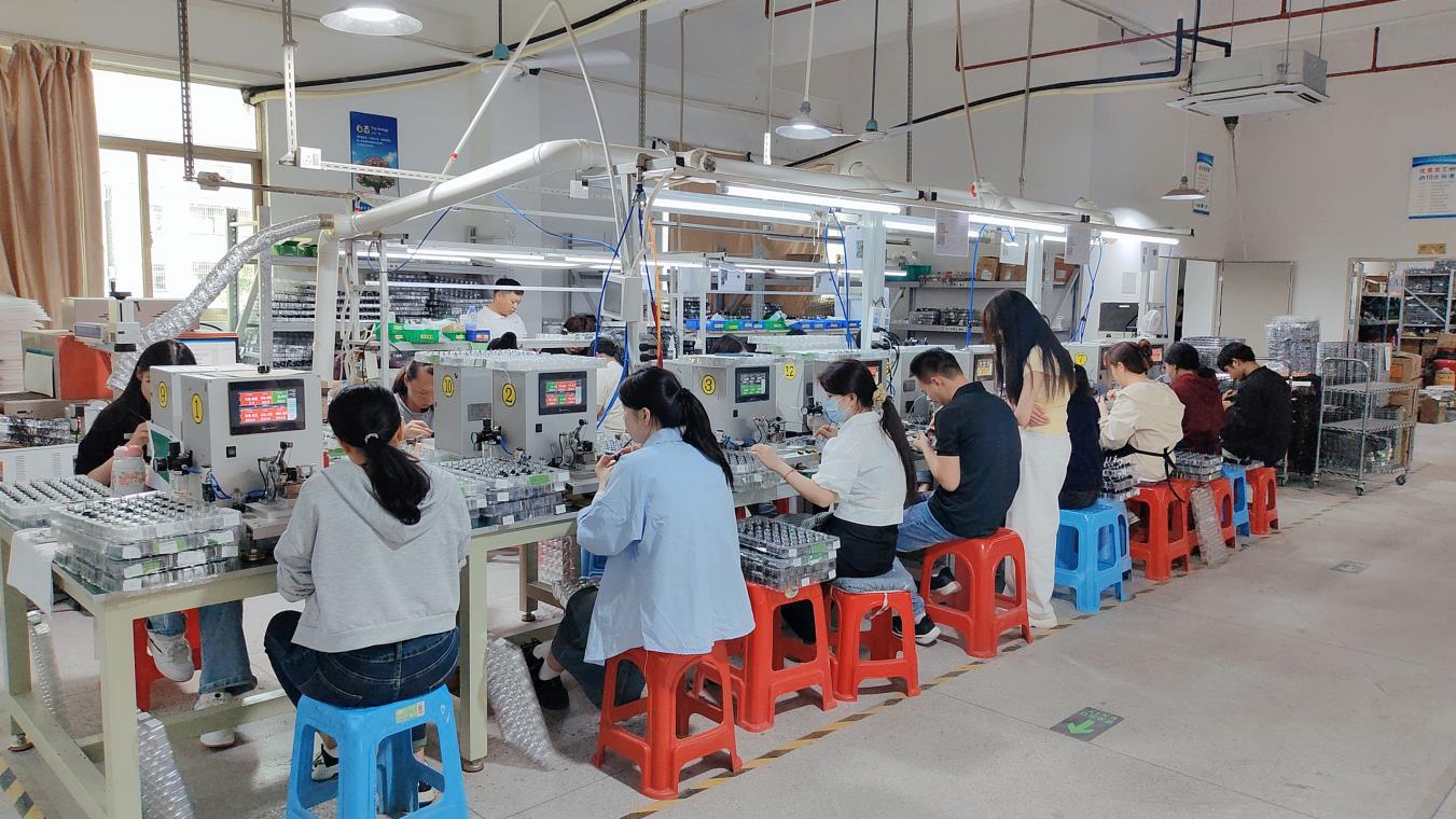
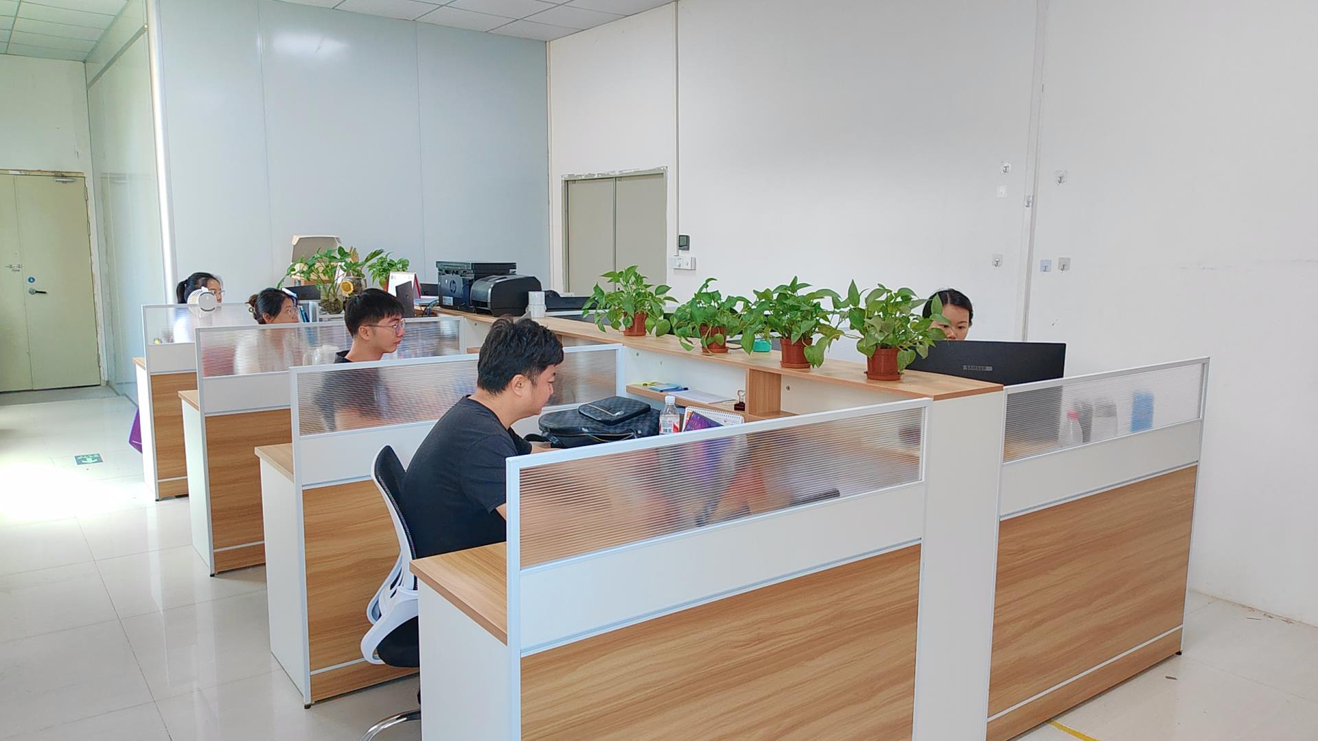
From our state-of-the-art manufacturing facility in China, we control the entire lifecycle of production—from initial R&D and rapid prototyping to strict ISO-certified quality testing and high-volume delivery. We don’t just supply hardware; we partner with OEM buyers, engineers, and supply chain managers worldwide to solve complex motion control challenges with cost-efficient, industrial-grade reliability.

🛡️

CE & RoHS Certified

Fully compliant with international safety and environmental standards for seamless global export.

⚙️

Industrial Grade 4.0

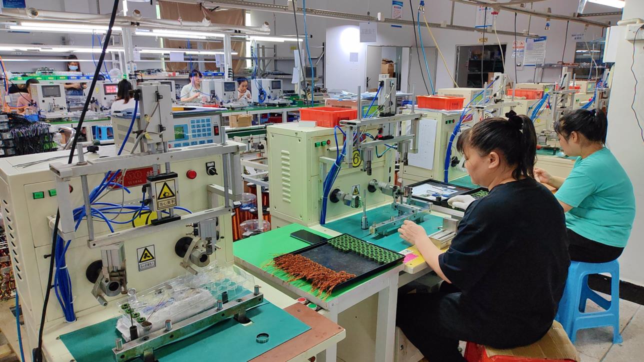
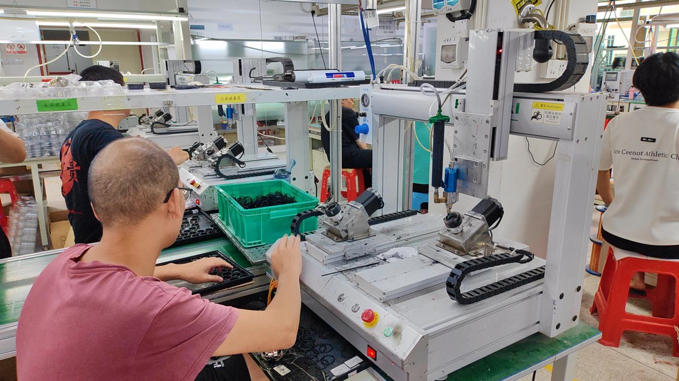
Automated production lines ensuring 99.9% consistency in motor winding and assembly.

🛰️

Precision Geospatial

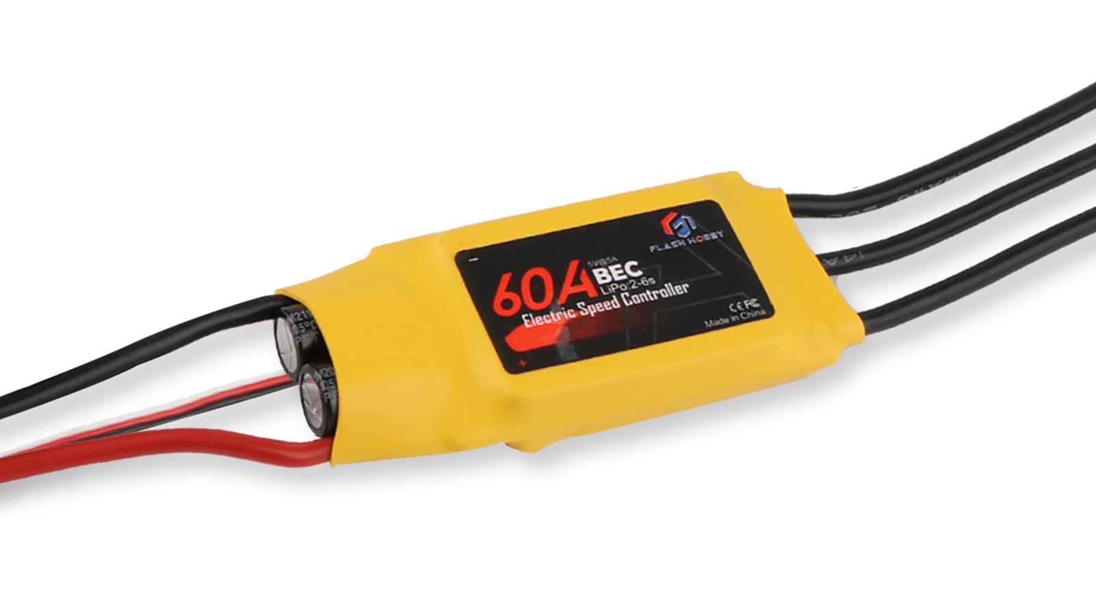
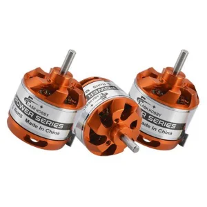
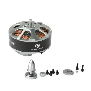
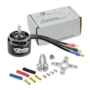
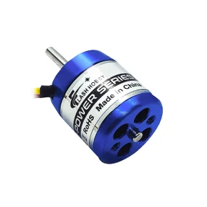
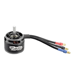
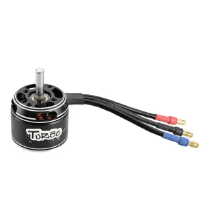
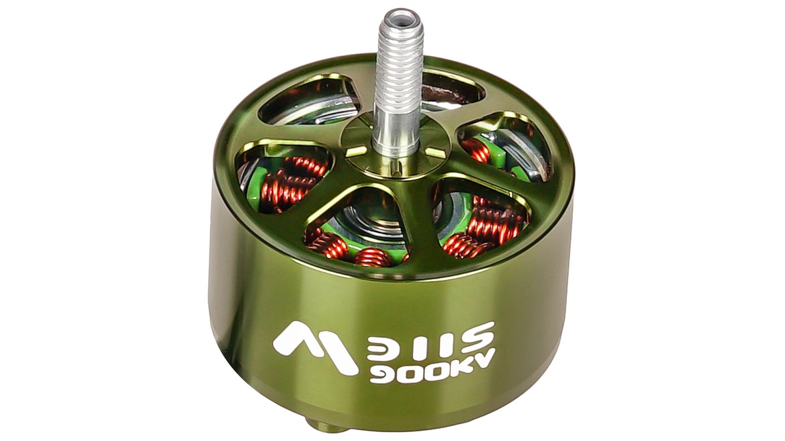
Optimized for terrain mapping drones requiring stable lift and minimal electromagnetic interference.

Technology Roadmap & Future Outlook

The evolution of Terrain Mapping Drones: From simple aerial photos to AI-driven digital twins.

2021-23
The RTK/PPK Standard: Implementation of Centimeter-level positioning as the industry baseline for surveying.
2024
Multi-Sensor Fusion: Integrating LiDAR, RGB, and Thermal sensors on a single CE-certified platform for comprehensive data gain.
2025+
Autonomous Edge Processing: Drones capable of generating 3D point clouds in real-time using onboard AI accelerators.

Macro Industry Solutions

Tailored drone technology for sectors requiring high-accuracy topographic data.

🏗️ Construction & Infrastructure

Automated volumetric measurements and site progress monitoring with 1:500 scale accuracy.

⛏️ Mining & Resource Management

Safe, remote mapping of open-pit mines and stockpile calculations without risking personnel.

🌾 Precision Agriculture

Multispectral terrain analysis to optimize irrigation and drainage based on elevation models.

⚡ Utility Inspection

High-resolution corridor mapping for power lines and pipelines across rugged terrains.

China Factory 4.0: Supply Chain Resilience

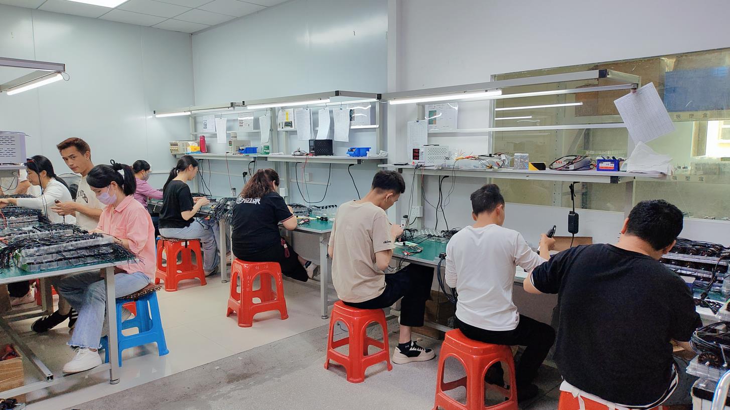
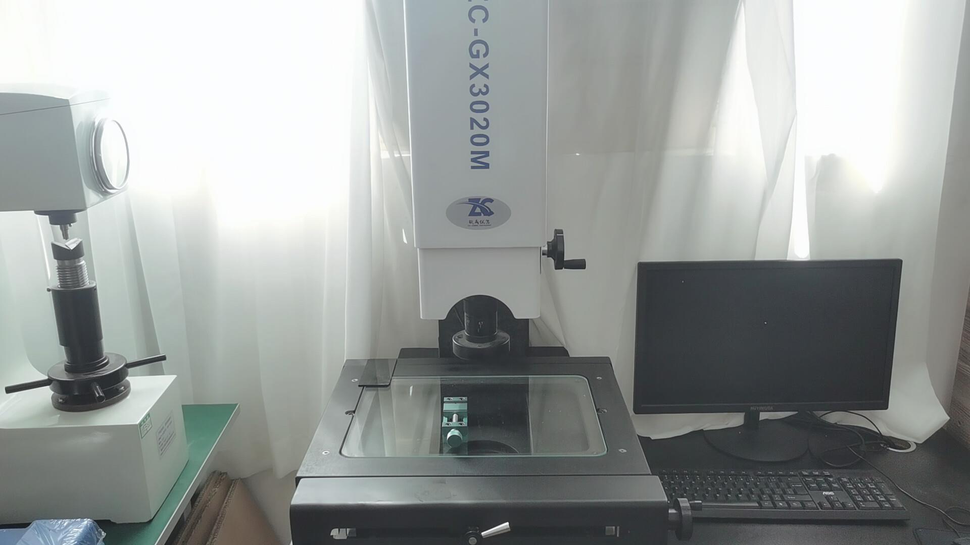
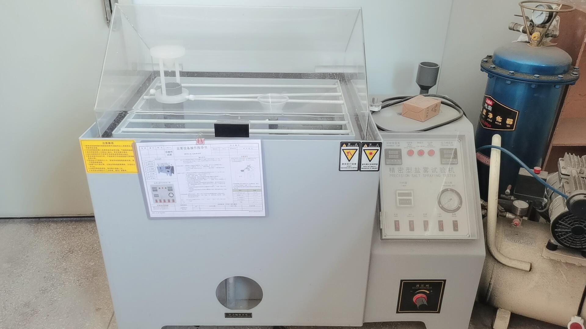
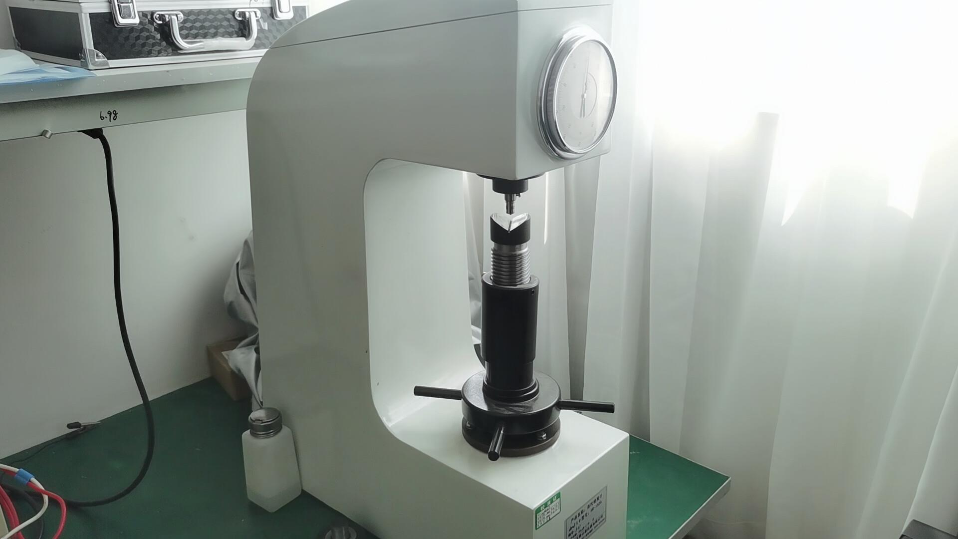
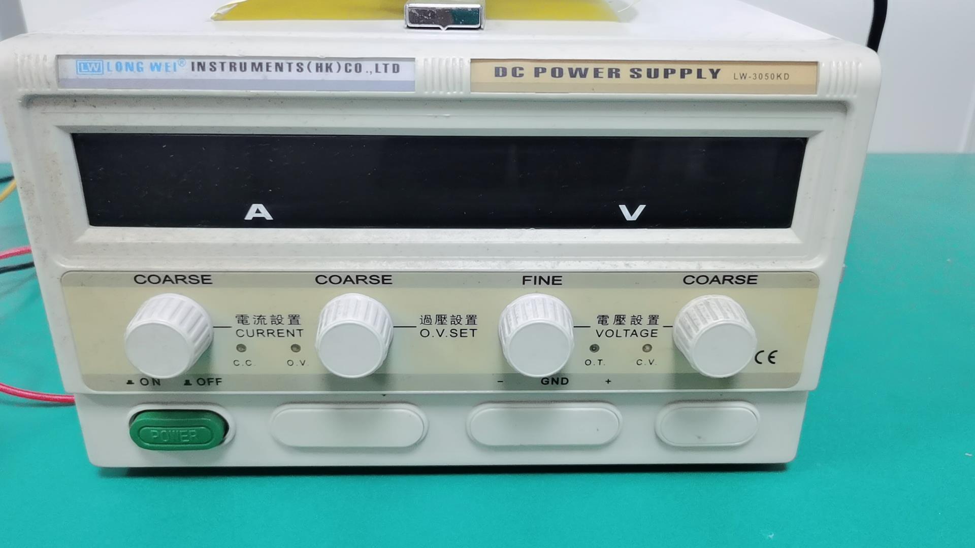
Our 16-step rigorous manufacturing process ensures the highest reliability for export-grade hardware.

Incoming material
Incoming Material QC
Winding
Precision Winding
Stator assembly
Stator Assembly
Rotor assembly
Rotor Assembly
Dynamic balance test
Dynamic Balance
General assembly
General Assembly
Final inspection
Final Inspection
Packaging
Export Packaging
Winding machine
Auto-Winding
Pneumatic press
Pneumatic Press
Automatic dispensing
Auto Dispensing
Dynamic balancing machine
Balance Analysis
Factory overview

Advanced Laboratory & Compliance Testing

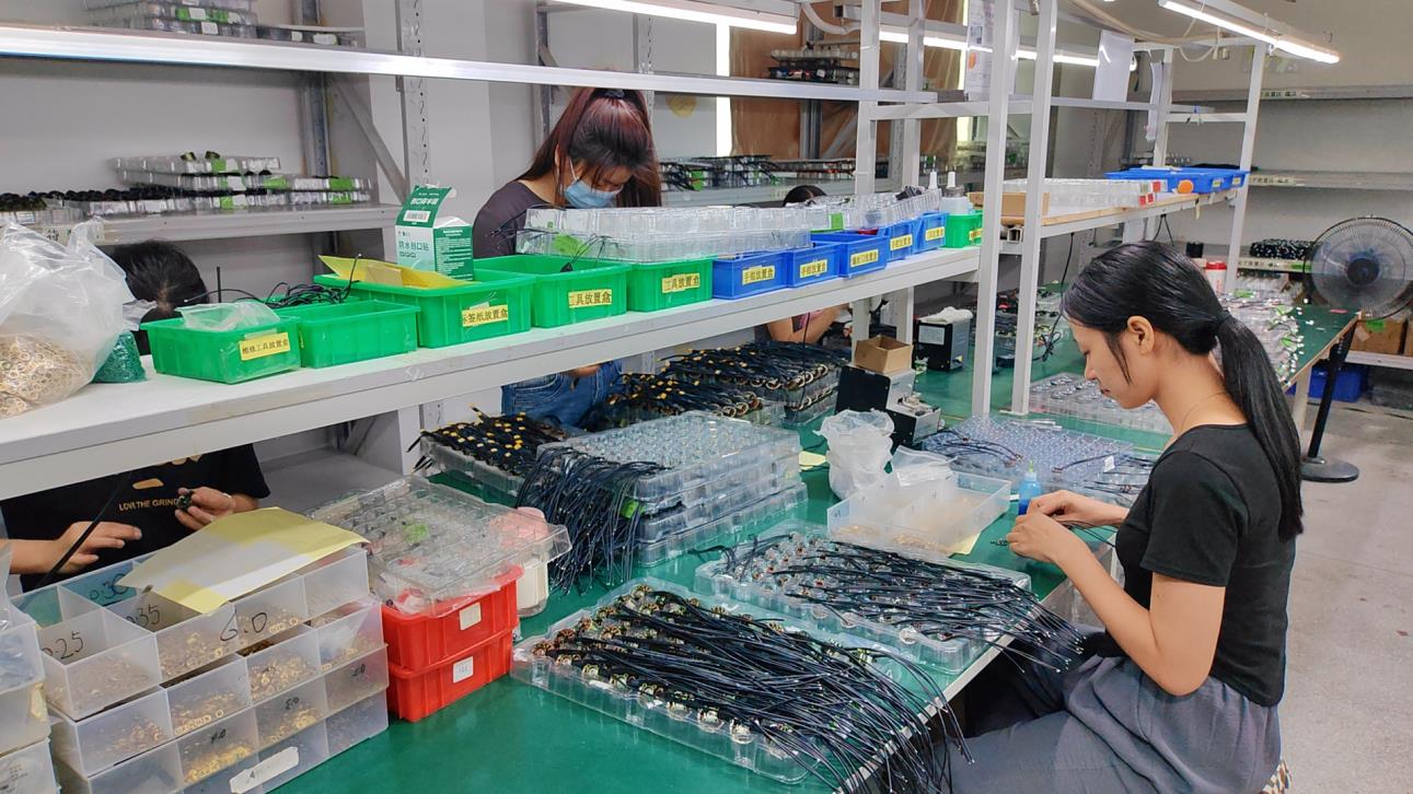
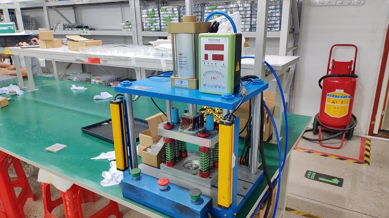
We ensure "Reliability First" through rigorous environmental and mechanical stress tests.

2.5 dimensional project
2.5D Measurement
Salt spray tester
Salt Spray Testing
Rockwell hardness tester
Hardness Testing
Direct current tester
DC Current Testing
Testing lab Compliance lab R&D Center

Global Enterprise Procurement Support

Solving the "Sourcing Gap" with localized support and transparent supply chains.

🌍 Localization Support

On-the-ground technical consulting and localized manuals for EU, NA, and SE Asian markets.

📦 Scalable OEM/ODM

From 100-unit pilot runs to 10,000+ monthly mass production with consistent quality.

📑 Regulatory Compliance

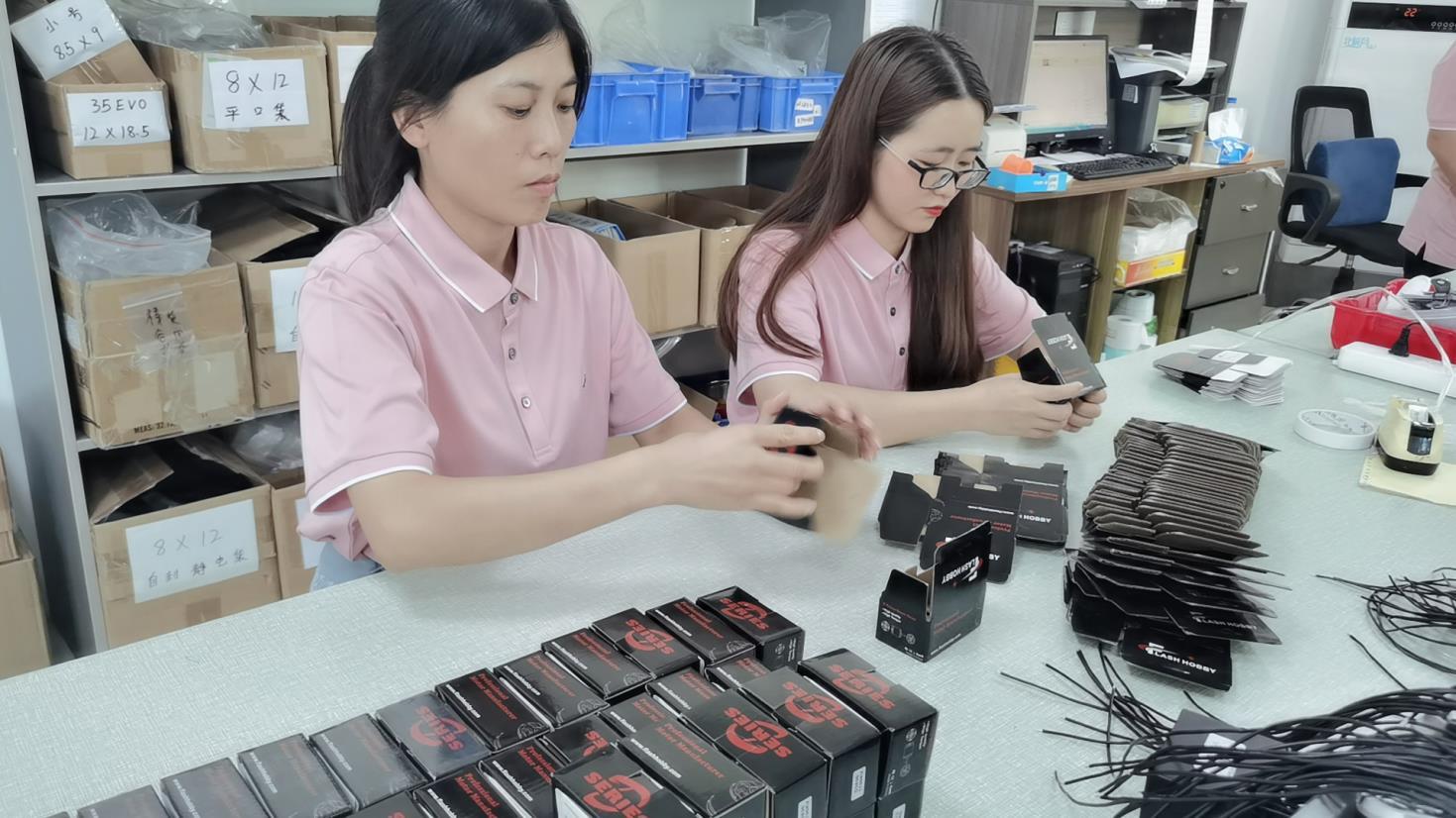
Complete documentation for CE, FCC, and UKCA, ensuring zero delays at customs.

Terrain Mapping Drones & Motors: Deep Dive FAQ

Answering technical questions for engineers and procurement directors.

Why is CE Certification critical for terrain mapping drones?
CE certification ensures the drone meets EU health, safety, and environmental protection standards. For mapping drones, this specifically includes electromagnetic compatibility (EMC) to ensure the GPS and LiDAR sensors aren't interfered with by the motor's high-frequency noise.
How does motor KV influence mapping accuracy?
Lower KV motors (like our 415KV MT3508) provide higher torque for larger, more stable propellers. Stability is the key to reducing "image blur" in photogrammetry, leading to higher precision GSD (Ground Sample Distance).
What is the advantage of a 4-in-1 ESC in drone surveying?
The 4-in-1 ESC (Electronic Speed Controller) reduces wiring complexity and weight, allowing for longer flight times. Our Flash Hobby F405 stack also offers advanced telemetry for monitoring motor heat in real-time during long mapping missions.
Can you customize motors for high-altitude mapping?
Yes. For high-altitude operations where air is thin, we customize the winding and heat dissipation systems of our brushless motors to maintain lift efficiency without overheating.